
$14.60
Add to Cart
1952 STATE of WYOMING Highway Map - Wyoming State Highway Commission
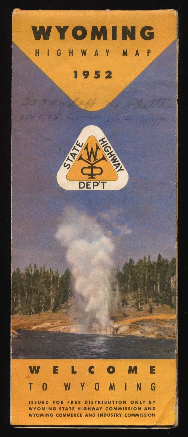


Description: Here's a nice vintage highway map and guide for the State of Wyoming, produced by the Wyoming State Highway Commission and Wyoming Commerce and Industry Commission.
The map shows the state's topography and identifies highways, roads, cities, towns, and points of historical interest. It also delineates historic trail routes, such as the Mormon Trail, Oregon Trail, Overland Stage Route, Original Pony Express route and the Cheyenne Deadwood Stage Road. It even includes "Official Air Lanes", along with symbols for Commercial and Municipal Airports, Revolving and Stationery Beacons, and Emergency Landing Fields.
The reverse side includes many photos of Wyoming, a Mileage Chart, and an overall highway map of the entire western United States.
The map was actually prepared by Rand McNally, but is copyrighted by the Wyoming State Highway Commission.
Size: Folded, it measures about 9" x 3.5", then opens out ito approximately 18" x 28".
Date: 1952
Condition: Good, I'd say. The map appears to have been well used, but is intact. However, it does have varying degrees of separation, anywhere from about 1/4" up to slightly over 2", along the fold lines, mainly in the vicinity of the junction of the horizontal and vertical folds. A couple of the corners are dog-eared. There are also a number of handwritten notations, mostly in pencil but a few small ones in ink.The most obvious of these (in pencil) is on the front cover. (Please see photos.)
**NOTE**: Shipping charges are discounted when more than one of my items are purchased at the same time. See what else I have to offer!
The map shows the state's topography and identifies highways, roads, cities, towns, and points of historical interest. It also delineates historic trail routes, such as the Mormon Trail, Oregon Trail, Overland Stage Route, Original Pony Express route and the Cheyenne Deadwood Stage Road. It even includes "Official Air Lanes", along with symbols for Commercial and Municipal Airports, Revolving and Stationery Beacons, and Emergency Landing Fields.
The reverse side includes many photos of Wyoming, a Mileage Chart, and an overall highway map of the entire western United States.
The map was actually prepared by Rand McNally, but is copyrighted by the Wyoming State Highway Commission.
Size: Folded, it measures about 9" x 3.5", then opens out ito approximately 18" x 28".
Date: 1952
Condition: Good, I'd say. The map appears to have been well used, but is intact. However, it does have varying degrees of separation, anywhere from about 1/4" up to slightly over 2", along the fold lines, mainly in the vicinity of the junction of the horizontal and vertical folds. A couple of the corners are dog-eared. There are also a number of handwritten notations, mostly in pencil but a few small ones in ink.The most obvious of these (in pencil) is on the front cover. (Please see photos.)
**NOTE**: Shipping charges are discounted when more than one of my items are purchased at the same time. See what else I have to offer!


