
$100.51
On Hold
Map of Canadian Maritime Provinces, Hammond Atlas c.1910
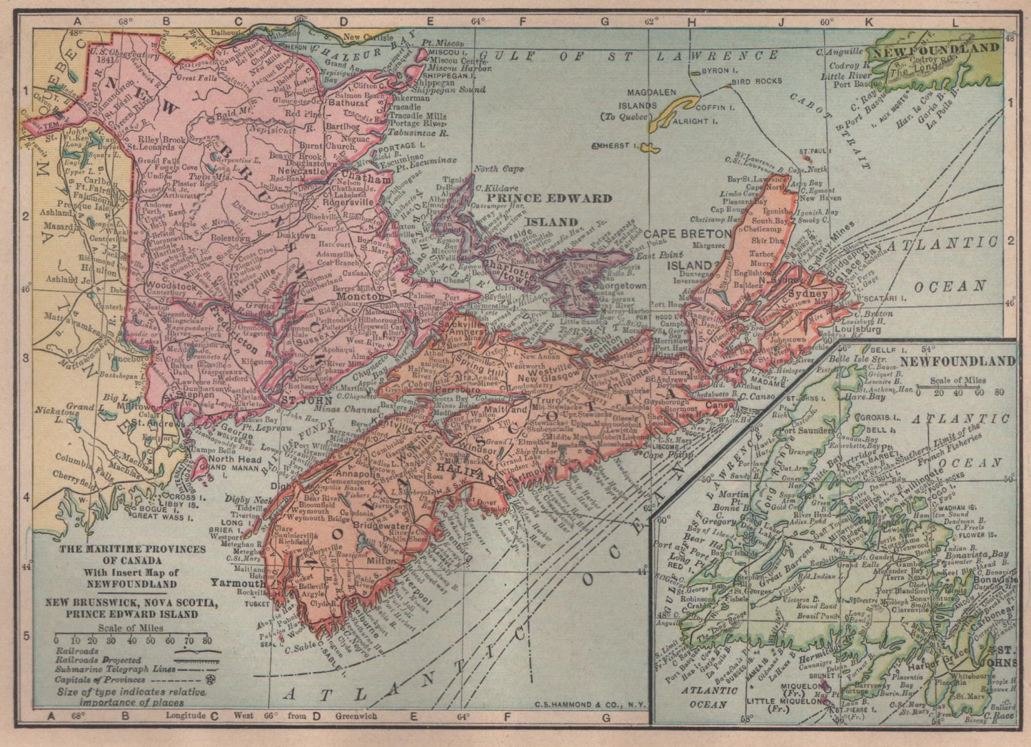
Antique C.S. Hammond color plate map of Canadian Maritime Provinces from their Handy Atlas of The World.
Overall condition is excellent to fine; no holes or tears.
Paper is 8 x 5.75 inches, image is 5 x 7.
c.1910
Overall condition is excellent to fine; no holes or tears.
Paper is 8 x 5.75 inches, image is 5 x 7.
c.1910


