$424.68
On Hold
Lake Huron Survey Map, Drummond Island Michigan, St. Marys River No. 61, Color c.1955
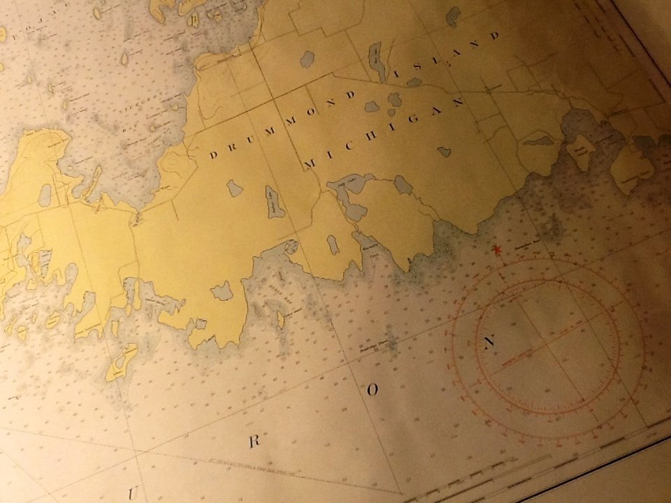


A vintage U.S. lake survey polyconic projection map of St. Mary's River, Lake Huron to Lake Munuscong.
Lake Huron Chart No. 61 shows St. Joseph Island Ontario, Drummond Island Michigan and the Detroit Passage.
Published by Department of The Army Corps of Engirneers.
Overall condition is near mint to mint; outer most edge of paper has wear and discoloration present.
Measures 4 ft x 3 ft when unrolled.
c.1955


